Active Transportation
Active Transportation:
• Provides choices
• Supports active, healthy living
• Reduces vehicle expenses
• Increases economic vitality
What Do We Have Now?
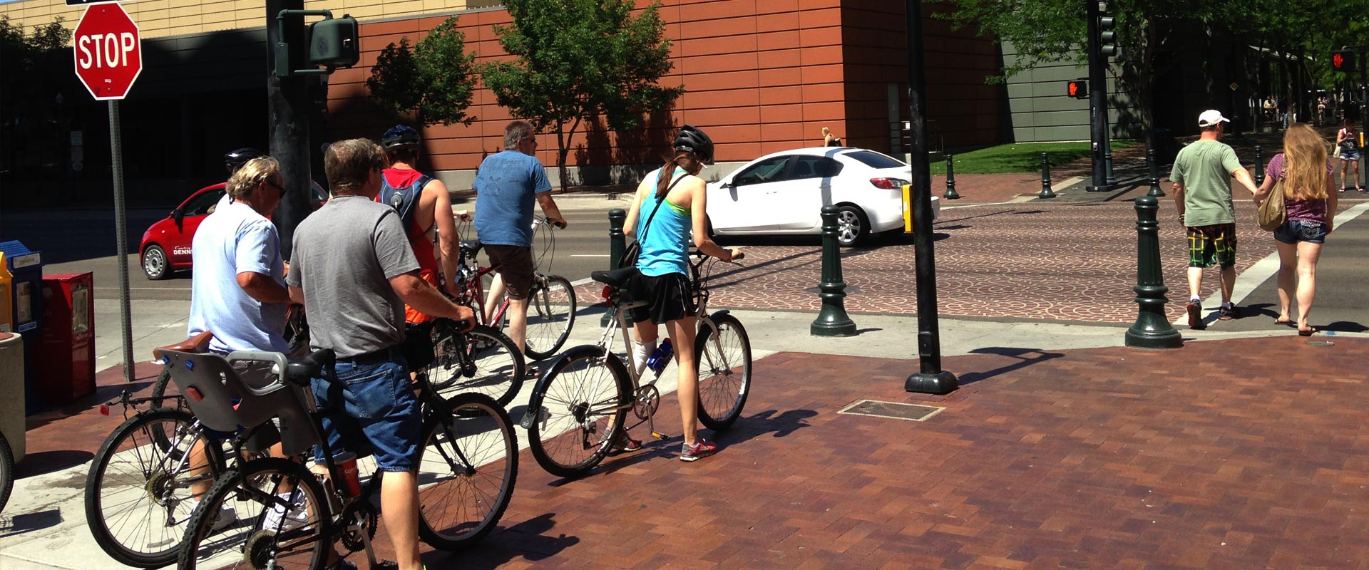
In order to plan for future needs, we need to know what types of infrastructure we have now (supply) and what type of use it gets (demand), then use that information to identify gaps and make informed investment decisions.
![]() Supply
Supply
To examine the “supply” of bicycle and pedestrian infrastructure, COMPASS developed the Bike Walk Compass interactive map to show what we have now and what local agencies have planned for the future.
Demand
To measure demand – how many people are using the system – COMPASS initiated a bicycle and pedestrian counter program. Twelve permanent counters are embedded in pathways around the Treasure Valley to collect data on bicycle and pedestrian use, 24 hours a day/7 days a week. An additional 40 portable counters are moved from place to place to track use as needed to provide data for studies, plans, grant applications, and more.
Since June 2015 over six million cyclists and pedestrians have been counted on the Treasure Valley’s pathways, sidewalks, and streets.
What Are We Planning For In The Future?
Proposed Treasure Valley Regional Bikeway and Pathway Network
COMPASS has identified a future regional bikeway and pathway network for the Treasure Valley that stretches over 390 miles and includes pathways, trails, and roadways. Of the 390 miles, 90 miles of pathways already exist, leaving 300 miles to be developed. Planning for how to proceed with this network, and acquiring funding to develop it, will continue into the future.
Proposed regional bikeway and pathway network for the Treasure Valley
Rails with Trails
Trails built alongside operational railroad tracks, also known as rails with trails, are being planned and developed across the country. Locally, just over 35 miles of railroad, stretching from the City of Nampa to the City of Boise, has been identified as an ideal location for a rail with trail corridor. Of the 35 total miles, 25.7 miles are owned by Union Pacific and the remaining 9.7 miles are owned by the City of Boise. To date, Union Pacific Railroad has expressed an unwillingness to allow a pathway within its right-of-way; however, planning will continue to be prepared when the opportunity arises.
Proposed Treasure Valley rails with trails network
How does active transportation help fulfill Communities in Motion goals?