Integrated Transportation System
SIMPLY PUT, IT IS THE ROADS, THE BRIDGES, THE BUSES, THE BIKE PATHS, THE SIDEWALKS, THE SERVICES, AND MORE THAT WORK TOGETHER TO COMPRISE OUR TRANSPORTATION SYSTEM.
As an integrated system, it is more than simply the sum of its parts. Planning for an integrated transportation system looks at not only how all of the individual components work independently, but also how they complement each other and function together.
![]()
COMPASS examined four transportation components – bicycle/pedestrian, freight, public transportation, and roadways – to develop a plan for an integrated, multi-modal future transportation system for the Treasure Valley. COMPASS gathered data, analyzed current conditions, and modeled future trends to determine how to design an integrated transportation system to serve needs to the year 2040.
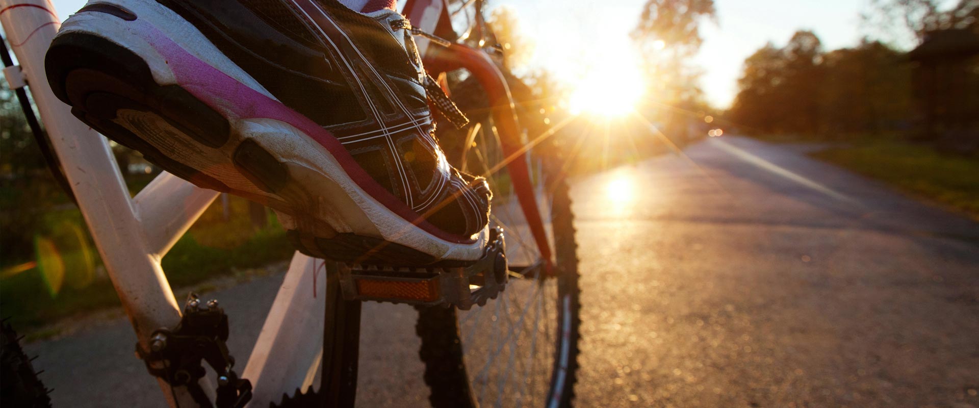
Bicycle and Pedestrian
![]() Appropriate bicycle and pedestrian (active transportation) infrastructure is an integral part of a comprehensive transportation system. Providing for bicyclists and pedestrians not only provides transportation options, but also contributes to a healthy community by reducing vehicle-related air pollution, as well as by increasing the individual health of those who walk or bike. Bicycle and pedestrian use also supports other transportation modes by reducing the number of cars on the road – thus reducing both congestion and maintenance needs – and providing for the “first and last mile” – that portion of a trip before and after a person uses public transportation or parks their private vehicle. Bicycle and pedestrian infrastructure improvements are part of many of the short-term and long-term funded roadway projects, as well as many unfunded corridors. Learn more.
Appropriate bicycle and pedestrian (active transportation) infrastructure is an integral part of a comprehensive transportation system. Providing for bicyclists and pedestrians not only provides transportation options, but also contributes to a healthy community by reducing vehicle-related air pollution, as well as by increasing the individual health of those who walk or bike. Bicycle and pedestrian use also supports other transportation modes by reducing the number of cars on the road – thus reducing both congestion and maintenance needs – and providing for the “first and last mile” – that portion of a trip before and after a person uses public transportation or parks their private vehicle. Bicycle and pedestrian infrastructure improvements are part of many of the short-term and long-term funded roadway projects, as well as many unfunded corridors. Learn more.
Freight
 The purpose of COMPASS freight planning is to enhance freight movement and the region’s transportation system to serve urban deliveries, rural economies, and global connections. Freight data collection and analysis, and a better understanding of the impact of freight in the region drive better decision-making for all transportation improvements. Several key freight corridors have already been slated for improvements with short-term and long-term funded projects, and many others are part of the unfunded corridors. Learn more.
Public Transportation
![]() Public transportation – locally comprised of buses and commuter vans – serves an integral role in the overall transportation system. Public transportation provides another option for travel, as well as an essential service for those who cannot drive. Future public transportation needs in the Treasure Valley include high capacity services, such as rail on or parallel to the existing rail line and bus rapid transit or other high capacity service along State Street. A “circulator” in downtown Boise is also part of the future public transportation mix. These services rely on “first and last mile” connectivity, such as bicycle and pedestrian infrastructure, for people to be able to use them effectively. Due to a lack of funding for public transportation, these future services are currently all unfunded. Learn more.
Public transportation – locally comprised of buses and commuter vans – serves an integral role in the overall transportation system. Public transportation provides another option for travel, as well as an essential service for those who cannot drive. Future public transportation needs in the Treasure Valley include high capacity services, such as rail on or parallel to the existing rail line and bus rapid transit or other high capacity service along State Street. A “circulator” in downtown Boise is also part of the future public transportation mix. These services rely on “first and last mile” connectivity, such as bicycle and pedestrian infrastructure, for people to be able to use them effectively. Due to a lack of funding for public transportation, these future services are currently all unfunded. Learn more.
Roadways
![]() Roadways are the backbone of the transportation system in Ada and Canyon Counties. Buses, commuter vans, freight vehicles, and of course, private vehicles, rely on our roadways. In addition, bike lanes and sidewalks along roadways provide a significant portion of our local bicycle and pedestrian infrastructure. Using travel demand modeling and other tools, COMPASS has identified those roadways most in need of improvement to meet current needs and support population growth. Significant improvements to three vital east-west corridors – Interstate 84, US 20/26, and State Highway 44 – are funded through Communities in Motion 2040 2.0; COMPASS is continuing to seek funding for needed improvements to all key travel corridors. Learn more.
Roadways are the backbone of the transportation system in Ada and Canyon Counties. Buses, commuter vans, freight vehicles, and of course, private vehicles, rely on our roadways. In addition, bike lanes and sidewalks along roadways provide a significant portion of our local bicycle and pedestrian infrastructure. Using travel demand modeling and other tools, COMPASS has identified those roadways most in need of improvement to meet current needs and support population growth. Significant improvements to three vital east-west corridors – Interstate 84, US 20/26, and State Highway 44 – are funded through Communities in Motion 2040 2.0; COMPASS is continuing to seek funding for needed improvements to all key travel corridors. Learn more.
What Does the Future Look Like?
Communities in Motion 2040 2.0 outlines an integrated transportation system to address current deficiencies and accommodate growth to 2040. While many identified needs are funded through this plan, many others, including long-term maintenance of roads, bridges, pathways, and other transportation assets, are left unfunded. The success of planning for a complete future transportation system will depend in no small part on identifying funding to meet all types of transportation needs.